
Main image
Click to view image in fullscreen
![]()
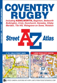
Coventry A-Z Street Atlas
This A-Z map of Coventry and Rugby is a full colour street atlas featuring 45 pages of continuous street mapping and includes Postcode districts, one-way streets, park and ride sites and safety camera locations with their maximum speed shown.
78,00 DH
Sur commande
| ISBN / EAN | 9781782571155 |
|---|---|
| Auteur | A-Z Maps |
| Editeur | HarperCollins Publishers |