
Main image
Click to view image in fullscreen
![]()
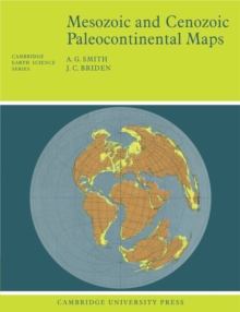
Mesozoic and Cenozoic Paleocontinental Maps
This 1977 book shows the positions of the major continental areas during the past 220 million years as four series of computer-drawn maps. All the maps are based on quantitative geophysical or topographic information: paleomagnetic pole positions, ocean floor magnetic anomalies, and best fits of the continental margins.
410,00 DH
Sur commande
| ISBN / EAN | 9780521291170 |
|---|---|
| Auteur | Smith, A. G. |
| Editeur | Cambridge University Press |